User manual
-
Key areas of Digimap for Schools
-
About the maps
-
Navigating in Digimap for Schools
-
Search
-
Map selector
-
View the compass
-
Save maps
- Drawing Tools
-
View Geograph images
-
View map keys
-
Overlays
-
Measure distance and areas
-
Capture geographic coordinates
-
Add your own data
-
Print maps
-
Map information
-
Edit your preferences
-
Tips and tricks
-
Try it out!
About the maps
Table of Contents
How do I know which map I am viewing?
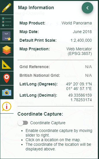
You can check which map you are viewing in Map Information, found at the bottom of the sidebar. The Map Product field tells you the name of the map on display in the map window.
Maps of Great Britain
Ordnance Survey maps
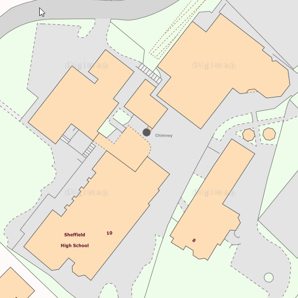
High-quality Ordnance Survey (OS) maps are at the heart of Digimap for Schools. Available for the whole of Great Britain, from regional maps to large-scale building outlines, with OS maps you can be confident in the accuracy and detail of your map. As you zoom in and out of your location, the map window automatically displays an OS map that is suitable for your scale.
Which OS maps are available?
- MiniScale®
- Raster250k®
- 1:50 000 Scale Colour Raster
- 1:25 000 Scale Colour Raster
- OS VectorMap® Local
- OS MasterMap® Topography
How often are the OS maps updated?
The OS maps are regularly updated.
Historical maps
What date are the historical maps?
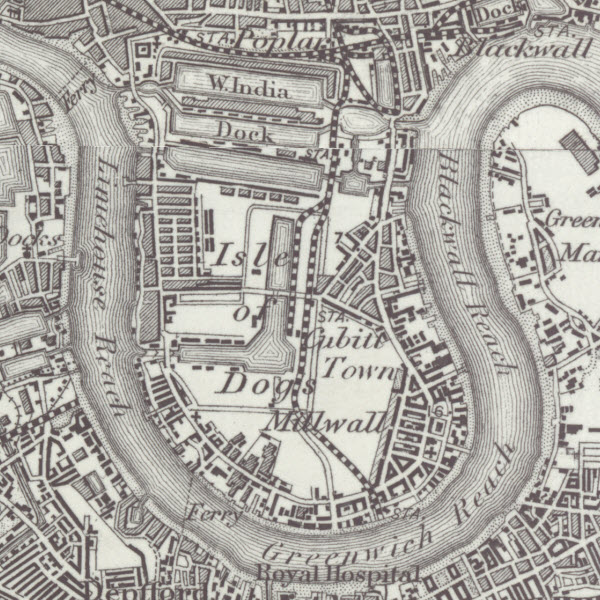
Two different time periods of historical maps are available in Digimap for Schools - 1890s and 1950s.
1890s
The 1890s maps represent Victorian Britain just before the turn of the century. The age of the maps range from 1895 - 1899. It’s not possible to know the exact date of the map you are viewing through Digimap for Schools, it should be viewed as being a map representing the land and features during the 1890s.
1950s
The 1950s maps show post-war Britain in the last “one-inch to the mile” map before the introduction of 1:50,000 mapping. The 1950s maps are particularly useful in showing an overview of landscape features and for comparing change between 1890s and today.
Who provides the historic maps?
The National Library of Scotland provides the maps.
Aerial maps
Who provides the aerial maps?
GetMapping provide the aerial photography.

Global maps
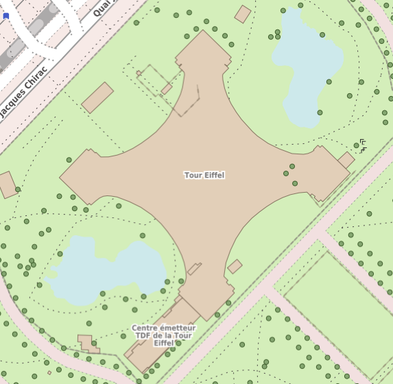
Overture Maps
Overture Maps is an open-source mapping initiative that aims to provide accurate, reliable, and up-to-date map data for developers and users worldwide.
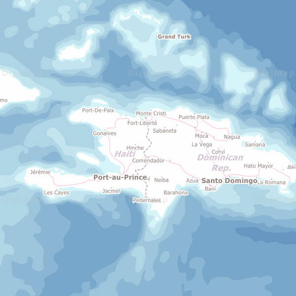
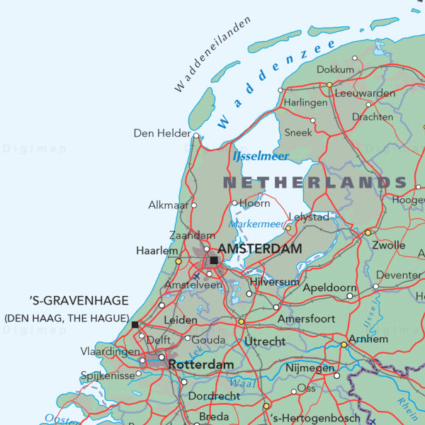
Collins Bartholomew World Panorama
World Panorama is a comprehensive world reference map, giving an accurate picture of political geography.
Natural Earth
Natural Earth is a publicly available map of the world, built by volunteers and supported by the North American Cartographic Information Society.
